
Pack your backpack and walk the fi na hiking trail over Bergsjöberget nature reserve!
At an altitude of almost 300 meters above sea level, it is an excellent destination. From the top you have a view of the entire village Brattsbacka and the lakes Bergsjön and Vångsjön. A small cottage is open; in it you can grill in the winter or in bad weather. Do not forget to write in the guestbook!
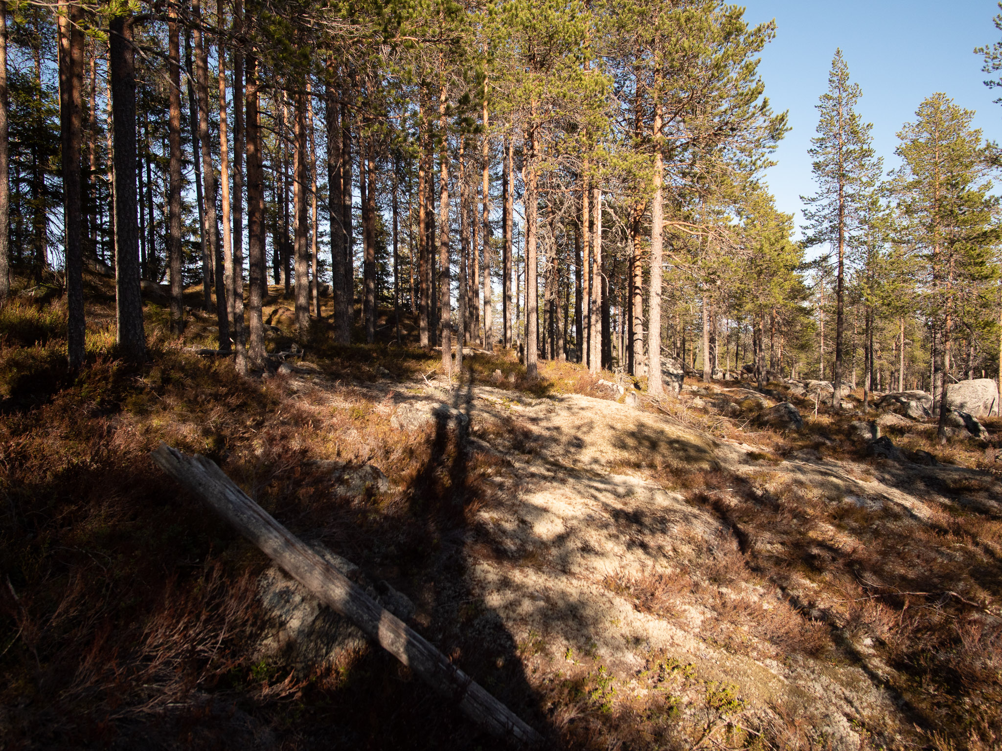
Kalottberg
Bergsjöberget is a so-called kalottberg. It is a mountain that has a wooded peak while the slopes below the peak are bare coils.
This is because the mountain was partly below the highest coastline. When the ice sheet melted away, the top of Bergsjöberget rose up like an island above sea level. The waves of the sea hit the sides of the mountain and washed away the earth. The waves did not reach the top of the mountain and therefore the soil layer was left intact, which means that forest can grow there today and form a cap on the mountain. The border runs at about 275 m above sea level, about 25 meters below the top of the mountain.